

Salt Dough Maps
November 08, 2023
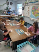
Our 4th grade Marshall students have been working on landforms and other map skills during Social Studies. They learned about plateaus, deltas, canyons, oceans, mountains, rivers, and many more. While learning about these landforms the student located and found the names of the Great Lakes, Rocky Mountains, and Appalachian Mountains.
Prior to the landforms they learned about different map skills. These included longitude and latitude, compass rose, in between directions, map keys, scale, interstate highways, continents, and North and South pole. When learning about these they located many states and what their own surrounding states are.
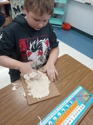
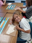
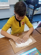
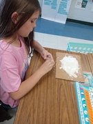
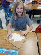
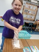
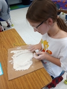
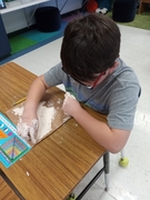
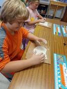
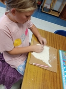
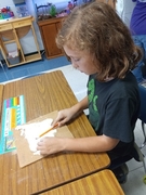
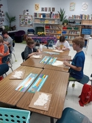
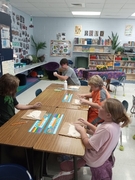
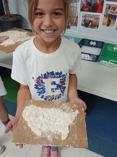
Their favorite part of the whole unit was being able to get their hands in salt dough. The students enjoyed making the United States and incorporating the landforms they learned and found throughout the US. They had to include both mountain ranges, a plateau, peninsula, and the Great Plains.
 Launch the media gallery 2 player - media #1
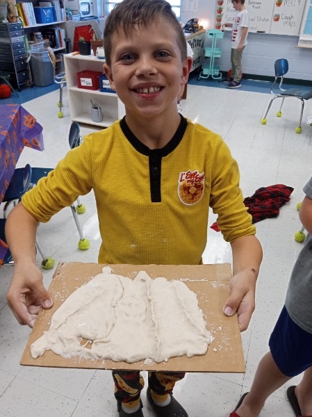 Launch the media gallery 2 player - media #2
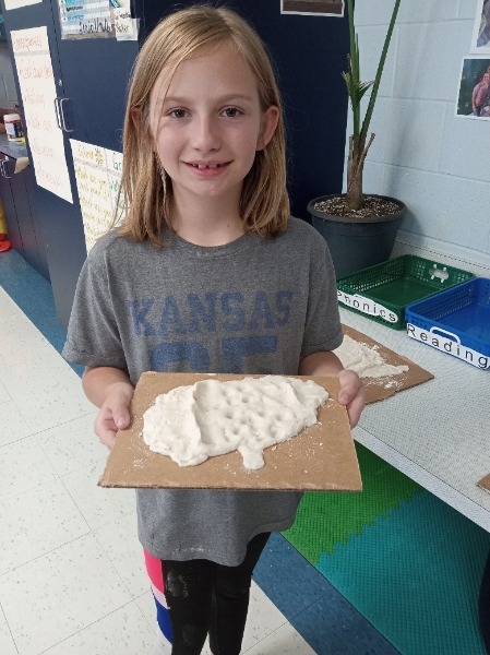 Launch the media gallery 2 player - media #3
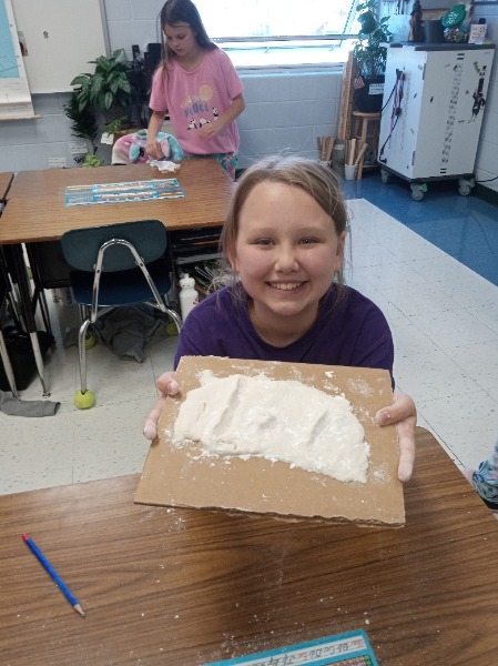 Launch the media gallery 2 player - media #4
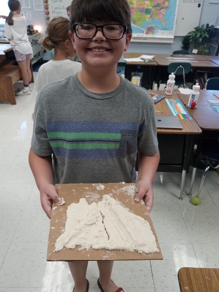 Launch the media gallery 2 player - media #5
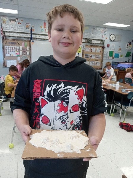 Launch the media gallery 2 player - media #6
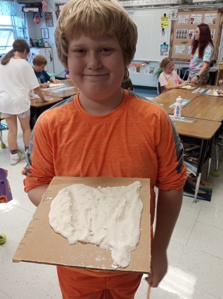 Launch the media gallery 2 player - media #7
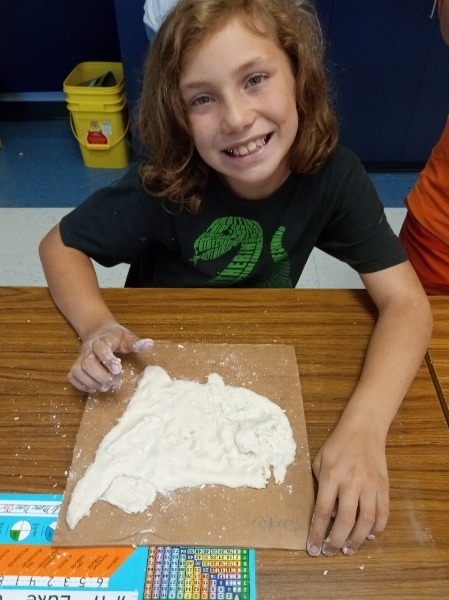 Launch the media gallery 2 player - media #8
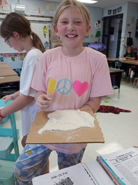 Launch the media gallery 2 player - media #9
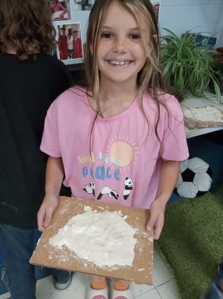 Launch the media gallery 2 player - media #10
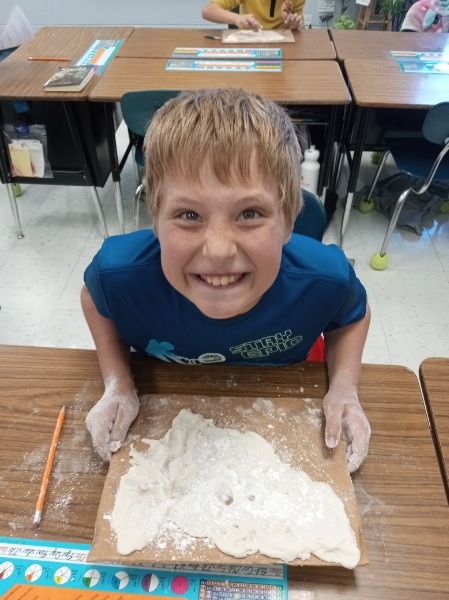 Launch the media gallery 2 player - media #11
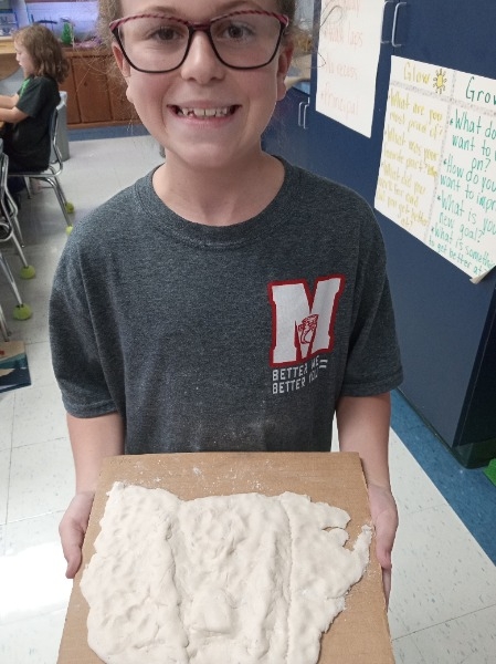 Launch the media gallery 2 player - media #12
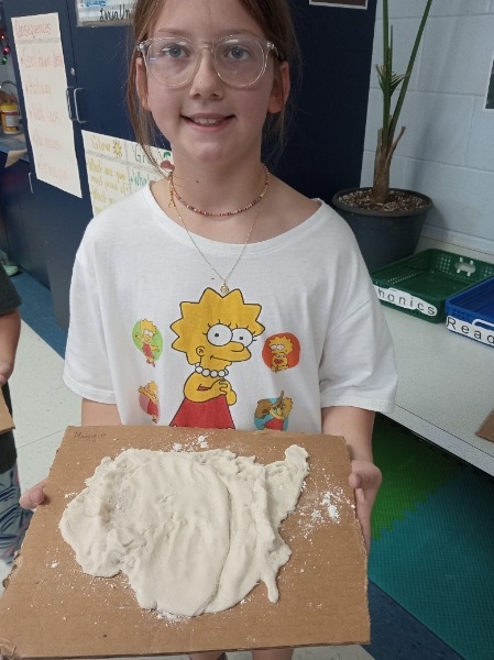 Launch the media gallery 2 player - media #13